India Lights / portfolio
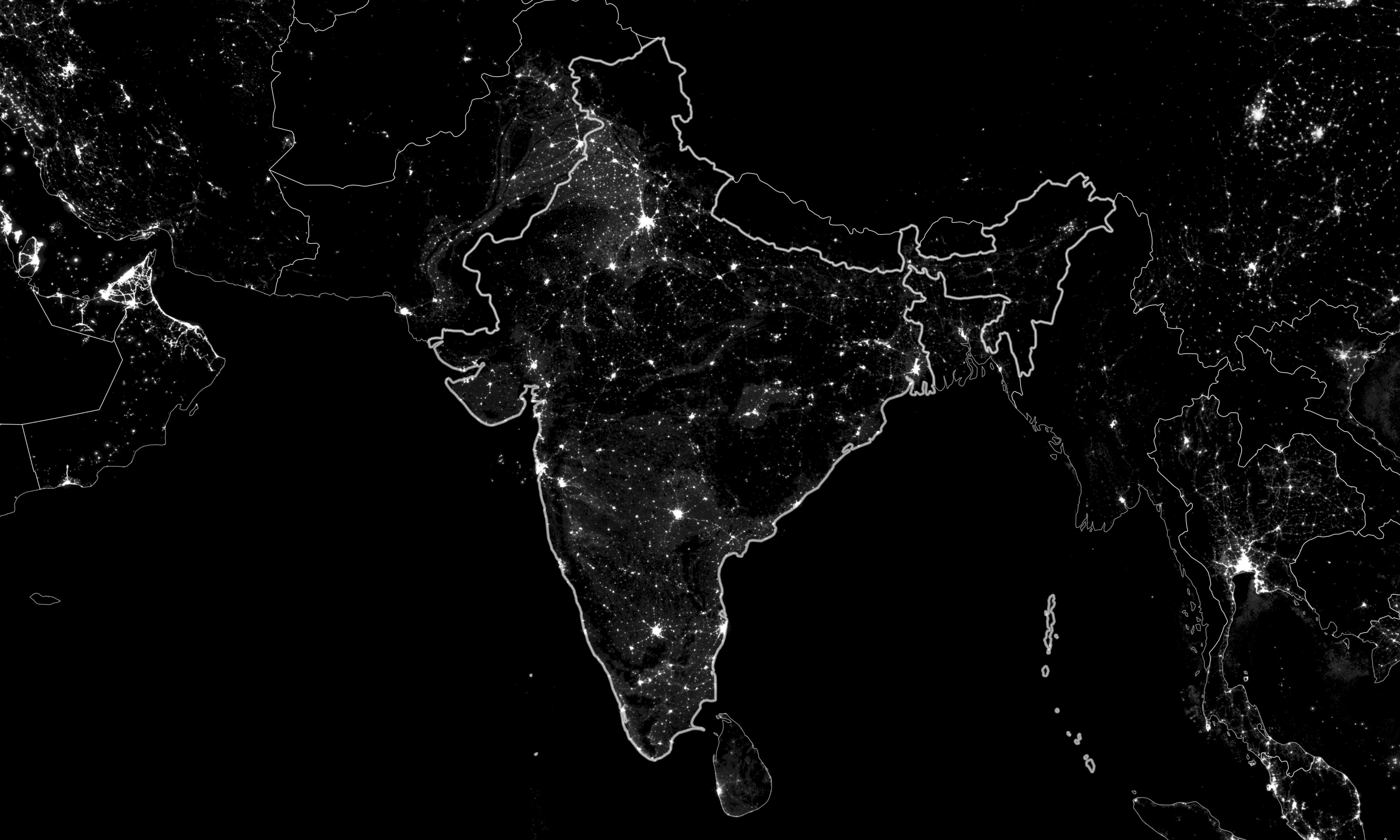
While working at Development Seed, I worked on the India Night Lights project, which used 20 years of nighttime satellite imagery to document nighttime light output for 600,000 villages across India. I wrote all of the site content and created supplemental maps to help tell the story of the main interactive map on the site.
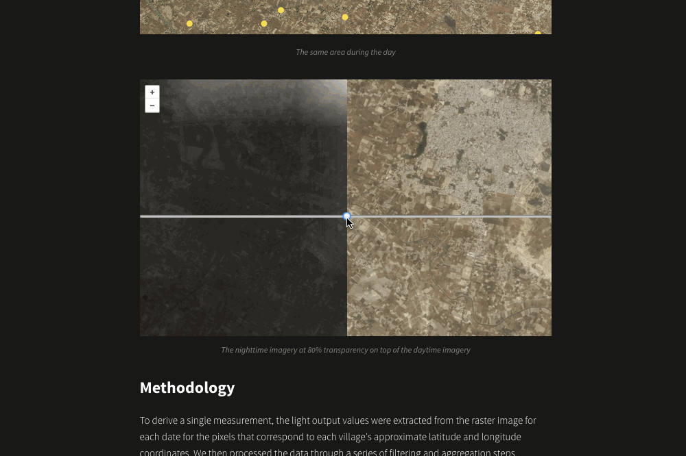
This interactive Leaflet map slider shows the low resolution nighttime imagery on top of high resolution daytime imagery to give a sense of the scale of the data.
(Note: The website has not been opened to the public yet, which is why I cannot link to the live site.)